Students from the Lethbridge College Ecosystem Management class will be presenting on the following topics:
“The influence of linear development on elk populations in the Foothills region of Southern Alberta” by Jayme Ladouceur.
Elk have commonly resided in the Foothills region of Southern Alberta for many years, maintaining a healthy population prior to the area becoming dominated by agricultural land use and residential properties. The increased rate of linear development southwest of Calgary poses undetermined influences toward local elk population densities and wildlife management. Population densities, the growth of linear development, associated conflicts, and wildlife management strategies implemented in the study area are being observed. The objectives of this study are to determine the effects of linear development on elk population densities. This research may address what types of human caused influences and wildlife management influence populations and behavior
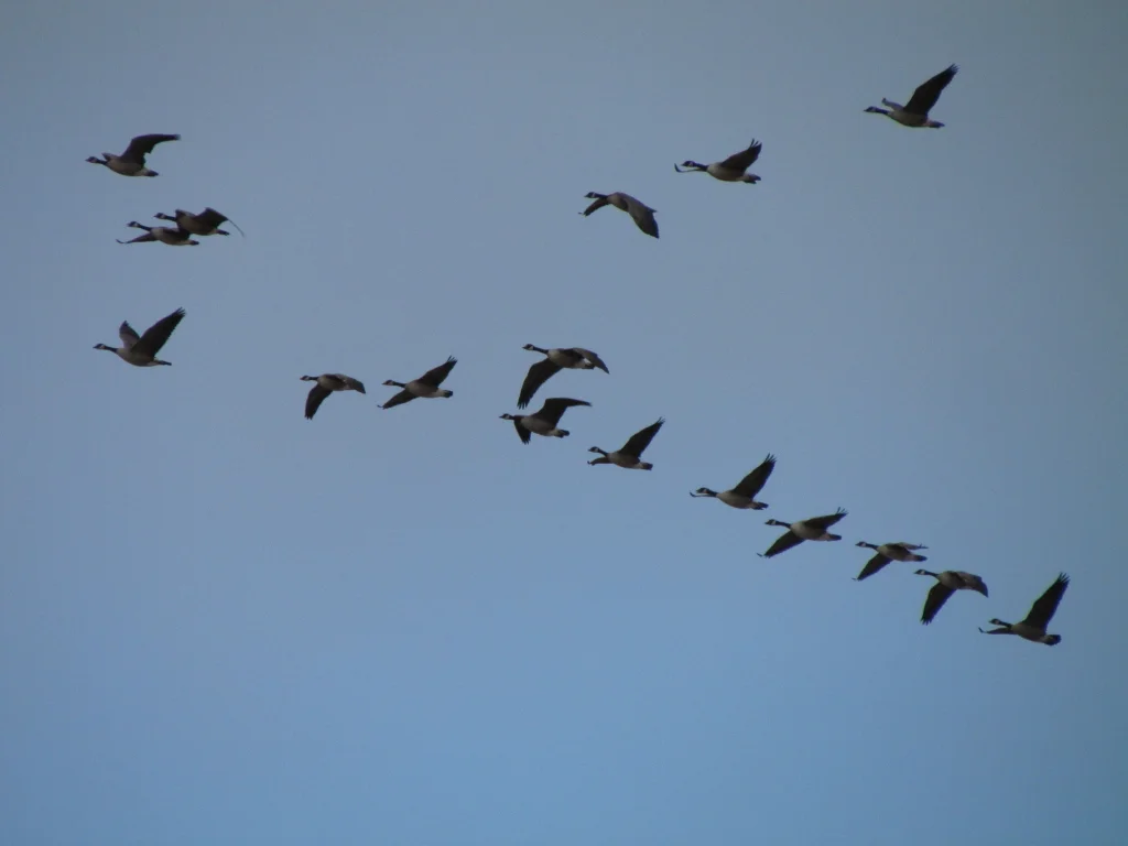
“Urban, rural, agricultural Canada Goose success” by Geoffrey Sage.
This study looks into the comparison of Canada Goose nesting success with conspicuous ground nests in urban, rural, and agricultural fringe habitat types. The objective is to judge if urban nesters have higher success rates than rural nesters, causing numbers in urban resident geese to rise faster within the City of Lethbridge than in rural areas.
“The evaluation of barriers and their effects on wildlife movement through urban greenspaces” by Shane Fandrick
As human populations continue to grow, there will be an increasing need for urban development. In cities like Lethbridge, this development will surround the cottonwood forest which is adjacent to the Oldman River. If future development does not include sufficient corridors to allow for wildlife passage, there will be an increase in the number of human-wildlife encounters within the City of Lethbridge. To fully understand the extent of wildlife movement through the city, a barrier model was developed to identify which areas wildlife use to reach the river valley and the alluvial cottonwood forest. The City of Lethbridge was mapped using ArcGIS to create a visual representation of how connected the outside limits of the city are to the Oldman River valley.
Each student presentation will be 15-20 minutes followed by question and answer. This is an excellent opportunity to connect with emerging research, methodologies, and interesting findings.

